About Us:
Delivering intelligent drone-assisted services…faster, safer and smarter.
Our mission is to eliminate the risks of working in dangerous situations, utilizing the best data collection sensors and software, leveraging the most efficient and reliable drone technologies.
Our leadership team has a proven track record of precise and effective business management, delivering world-class solutions to our customers that save them time and money.
We love our pilots, and you should too: Our professionals are FAA certified and vetted for excellence, both in the air and on the ground. Our pilots are ranked in the 98th percentile worldwide by independent industry experts. They are also committed to developing their piloting skills and have accrued thousands of hours of individual flight time.
Our Services Include:
- Methane Detection
- Wind Turbine Inspections
- Utilities Surveys
- Construction Monitoring
- Land Development
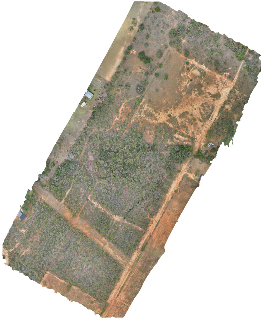
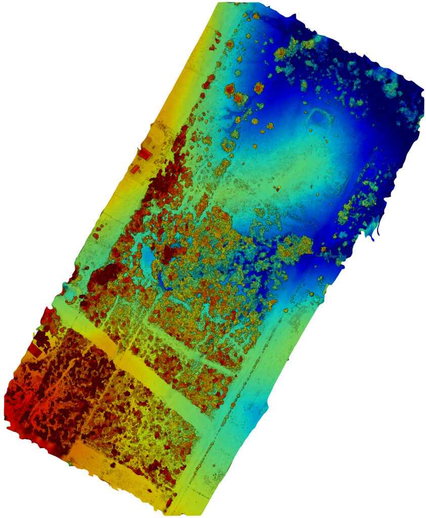
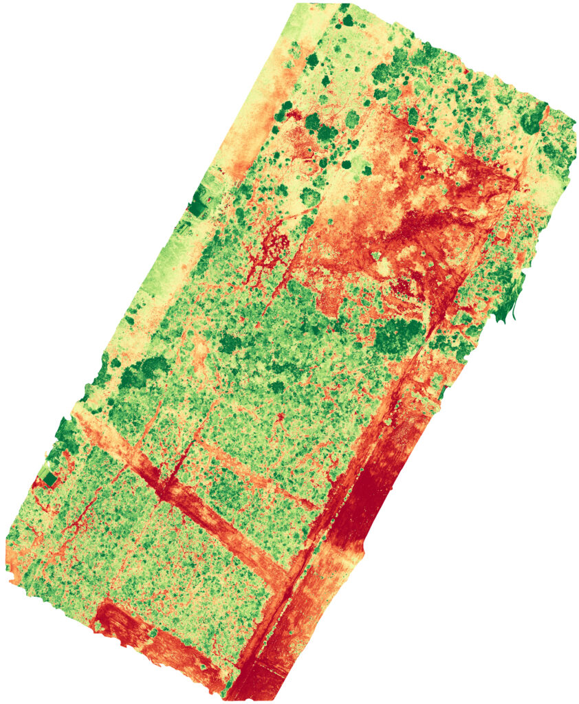
- Surveying and Mapping
- Building Modeling
- Insurance Inspection
- Solar PV Inspections
- Public Safety and Security
- LiDAR
- Emergency Response Services
- Precision Agriculture
Our fleet is comprised of commercially certified, field-tested, proven hardware and software. We are constantly researching and testing new and emerging technologies so we can deliver the best possible service to our customers.
Alamo Airborne is in compliance with all Federal Aviation Association regulations and procedures pertaining to small unmanned aircraft systems (sUAS) outlined in 14 CFR Part 107.
Launch With Us Today!